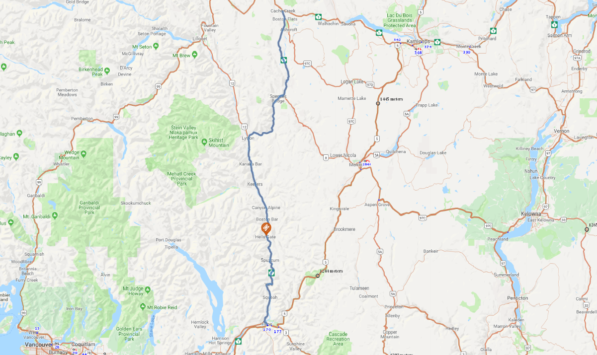
Print link

Fraser Canyon Scenic Highway

Road Trip

View on Map
s-eyerkaufer/iStockphoto.com
119.6 miles: 2 hours, 12 minutes
Fraser Canyon Scenic Highway follows the Trans-Canada Highway (Hwy. 1) along the Thompson and Fraser rivers, clinging to steep, forested mountainsides and passing through a canyon north of Yale with clifftops soaring high above. From British Columbia’s arid Interior Plateau, the route leaves the Thompson River at Lytton to join up with the Fraser River.
Map pin
Road trips stop
1
119.6 miles: 2 hours, 12 minutes
Once an imposing barrier, the Fraser Canyon now serves as a transportation corridor through which two railways and the Trans-Canada Highway pass, thanks to tunnels, bridges and roadbeds blasted out of sheer cliff walls. At Hell’s Gate, the churning Fraser River is forced into a gorge only 110 feet wide. An aerial tram carries visitors across, providing spectacular views.