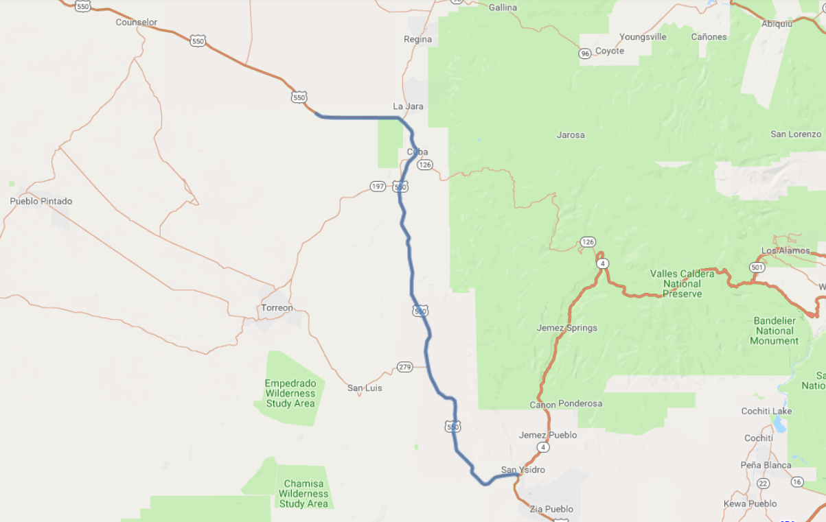
Print link

Jemez Scenic Mountain Trail

Road Trip

View on Map
amygdala_imagery/iStockphoto.com
53.1 miles: 46 minutes
Along the gently winding US 550 are grassy, wide-open plains speckled with brush. The scenery has a backdrop of tall peach- and clay-colored mesas that are dotted with shrubs and occasionally edge the road with high cliffs. North of Cuba near the route's endpoint is the Continental Divide.
Map pin
Road trips stop
1
53.1 miles: 46 minutes
The scenic byway of US 550 runs through arid plains in which the clay- and sand-colored earth gives way to low hills and mesas. Despite the dry climate, grass and brush of sage hues grow, sparsely covering the land. The Continental Divide at 7,380 feet is marked by a sign north of Cuba near the route’s terminus.