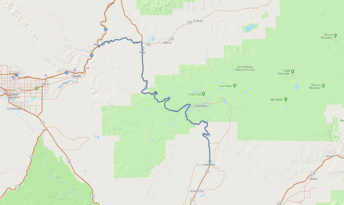
Print link

Grand Mesa National Scenic Byway

Road Trip

View on Map
bluerabbit/iStockphoto.com
50.3 miles: 1 hours, 5 minutes
Grand Mesa National Scenic Byway (SR 65) begins in Cedaredge on the south slope of Grand Mesa, the world’s largest flat-top mountain. From there it climbs into Grand Mesa National Forest before descending again down to the town of Mesa. From there it veers west into picturesque Plateau Creek Canyon before ending at I-70 and the Colorado River.
Map pin
Road trips stop
1
50.3 miles: 1 hours, 5 minutes
As SR 65 climbs the south slope of Grand Mesa, the landscape becomes greener and the views more impressive. Ponds and lakes dot the fir-forested mesa top, and several turnouts allow drivers to enjoy the vistas. Descending the mesa's north flank, SR 65 passes through rocky Plateau Creek Canyon. At the byway's end, steep-walled Debeque Canyon offers another change of scenery.