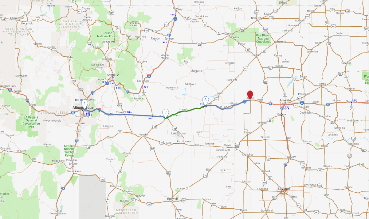
Print link

Route 66 - Eastern New Mexico

Road Trip

View on Map
flickr/meltedplastic
245.8 miles: 5 hours, 17 minutes
Mostly driving I-40, this Route 66 journey across the state's eastern half boasts several pockets of well-preserved Mother Road nostalgia—from the vintage neon signs of Albuquerque to the classic roadside kitsch of Tucumcari. History buffs, take note: Prior to a 1937 realignment, the original Route 66 traveled far north of I-40 through the state capital, Santa Fe.
Map pin
Drive trips stop
suesmith2/iStockphoto.com
1
Albuquerque, NM to Santa Rosa, NM
118.7 miles: 2 hours, 25 minutes
Leaving the city, the highway travels through the pretty foothills of the Sandia Mountains. Pinion and juniper dot the landscape. Big-rig trucks barrel along I-40. On the banks of the Pecos River, the town of Santa Rosa retains several motels, eateries and buildings dating to the Mother Road's heyday. Want to do some fishing? Drop a line in one of the nearby lakes.
photo credit
AAA Photo
2
Santa Rosa, NM to Tucumcari, NM
59.6 miles: 1 hours, 18 minutes
In the route's glory days, the drab ribbon of road between these two towns was lined with advertising signs enticing drivers to stay in “Tucumcari Tonight.” Today you'll find a wealth of Route 66 treasures—from a classic 1942 motel to the Tee Pee Curios shop, housed in a concrete wigwam. And if that's not vintage enough for you, check out the town's dinosaur museum.
Drive trips stop
Shutterstock.com/David P. Smith
3
Tucumcari, NM to Adrian, TX
67.5 miles: 1 hours, 33 minutes
According to a 1940s WPA guidebook, Route 66 across far eastern New Mexico traverses “land as flat as a cowboy's purse the morning after pay day.” Though the drive lacks eye candy, up ahead in Adrian, Texas, is a must-stop photo-op. The town's welcome sign announces you've reached the midpoint of Route 66. It's 1,139 miles to Chicago, and the same to L.A.