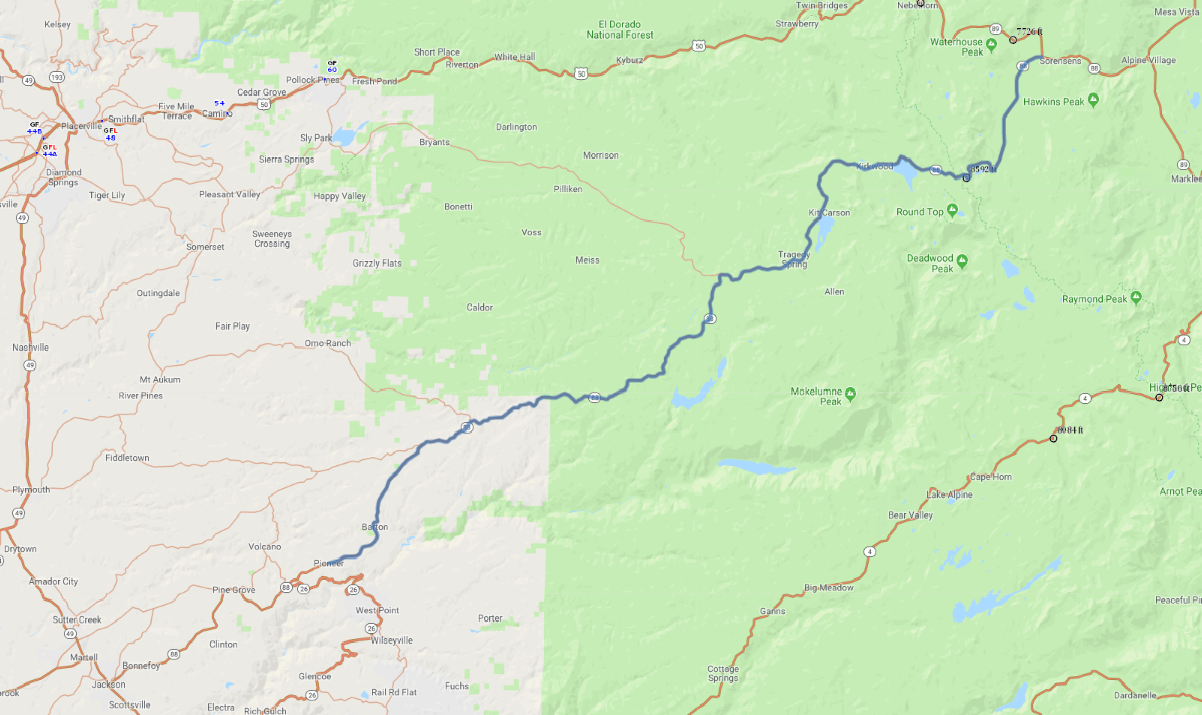
Print link

Carson Pass Scenic Highway

Road Trip

View on Map
johnrandallalves/iStockphoto.com
55.1 miles: 1 hours, 6 minutes
Seasonal route: The road is subject to closure in winter. A stunning drive through California’s Sierra Nevada, Carson Pass Scenic Highway (SR 88) ascends from a thick forest of ponderosa pines, passing alpine lakes and ski resorts, up to Carson Pass, where the trees thin out revealing amazing panoramas of rugged mountains marching off to the horizon.
Map pin
Road trips stop
1
55.1 miles: 1 hours, 6 minutes
Trailheads, overlooks, campgrounds, lakeside resorts and California State SNO-PARKS line the Carson Pass Scenic Highway, providing countless opportunities for recreation and sightseeing in the beautiful Sierra Nevada. The route follows the shorelines of lovely Silver and Caples lakes before reaching its highest point at Carson Pass, site of a small information station.