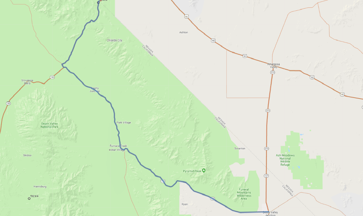
Print link

Amargosa Range Scenic Highway

Road Trip

View on Map
timstarkey/iStockphoto.com
61.1 miles: 1 hours, 6 minutes
Southern California’s Death Valley is isolation exemplified. The austere desert landscapes are forbidding but also have an otherworldly beauty. The terrain is varied, with elevations from 282 feet below sea level to 11,053-foot Telescope Peak, and despite the harsh environment, plant and animal life thrives. Make sure you have a full tank of gas before embarking.
Map pin
Road trips stop
1
61.1 miles: 1 hours, 6 minutes
SR 190, the Amargosa Range Scenic Highway, follows the Amargosa mountain range through Death Valley. From Zabriskie Point there’s an amazing panorama of canyons, gulches and eroded, multicolored rock formations. Dante’s View is another must stop, overlooking Badwater Basin, North America’s lowest point. Morning light accentuates the majesty of these landscapes.