Print link

North Coulee Corridor Scenic Byway

Road Trip

View on Map
ChrisBoswell/iStockphoto.com
28.4 miles: 33 minutes
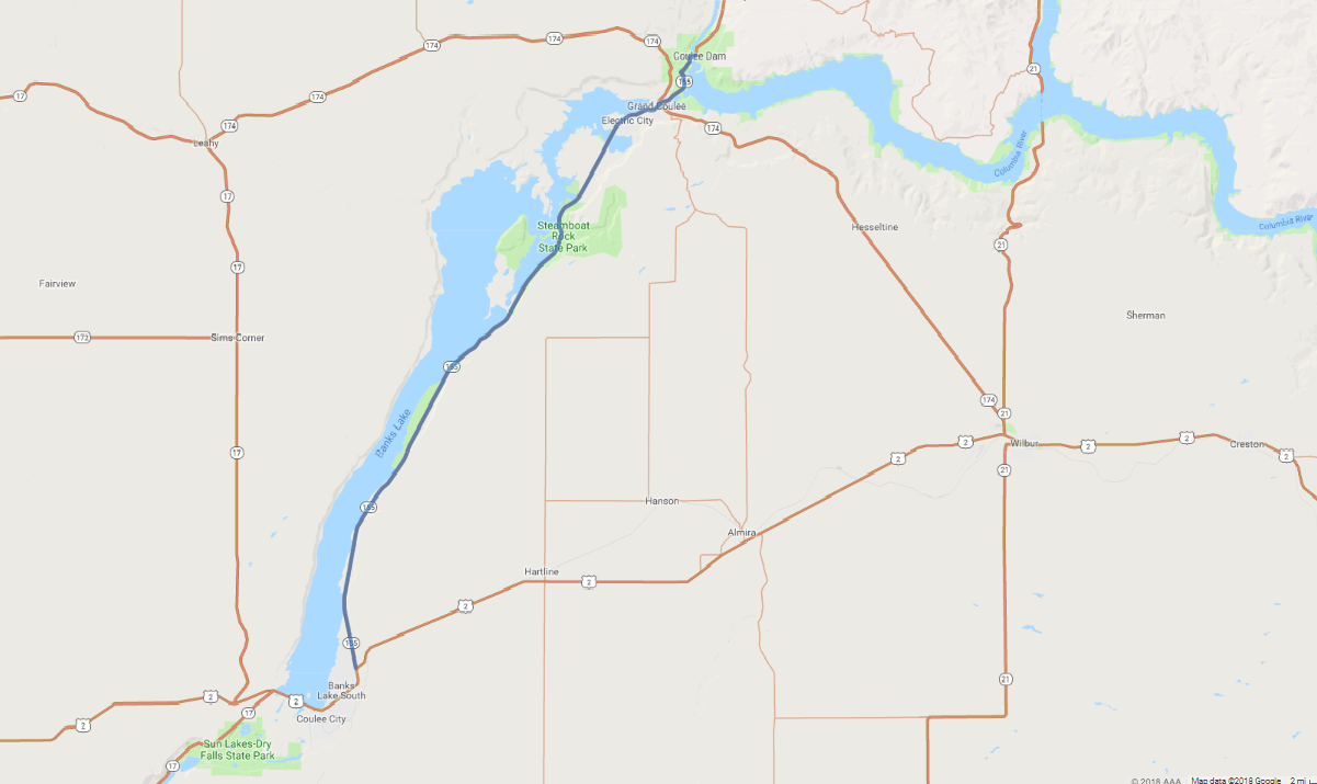
SR 155 passes by one of the largest concrete structures in the world, the Grand Coulee Dam, which harnesses the power of the Columbia River as a source of energy and for flood control. Beyond the dam, giant natural cliffs and ancient geological formations lead into the silvery waters of Banks Lake.
Map pin
Road trips stop
1
28.4 miles: 33 minutes
SR 155 runs through a coulee that cuts deeply into arid, gently rolling plains. Enjoy views of the flat-topped basalt cliffs juxtaposed with Banks Lake and travel through Steamboat Rock State Park. You will also journey over the Columbia River and see the Grand Coulee Dam, one of the largest concrete structures in the world.