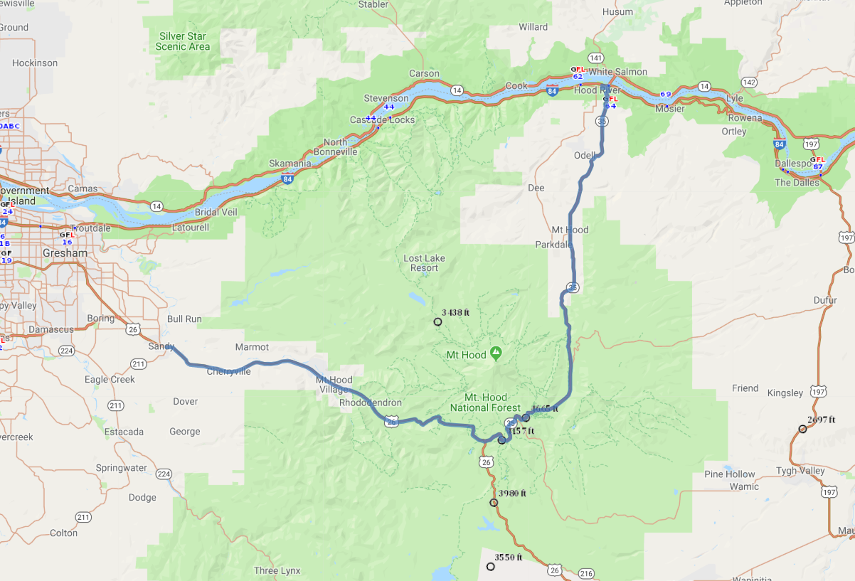
Print link

Mt Hood Scenic Loop, Hood River County Tour Route

Road Trip

View on Map
flickr/Dave Pacheco
70.5 miles: 1 hours, 20 minutes
From winding rivers to evergreen forests to fertile orchards to an 11,239-foot mountain peak, the natural features of this scenic route around Mt. Hood guarantee an unforgettable drive. Comprising the byway are US 26 and SR 35, two roads that follow two different river valleys and approach from two different directions.
Map pin
Road trips stop
1
70.5 miles: 1 hours, 20 minutes
This byway crosses several waterways as it takes you around the scenic mountain area of Mt. Hood National Forest. You’ll drive through a number of villages on US 26 before you reach SR 35 and head uphill toward majestic Mt. Hood. Extending from Mt. Hood’s northern slope to Columbia River Gorge’s southern shore, Hood River Valley is cloaked in forests and orchards.