Print link

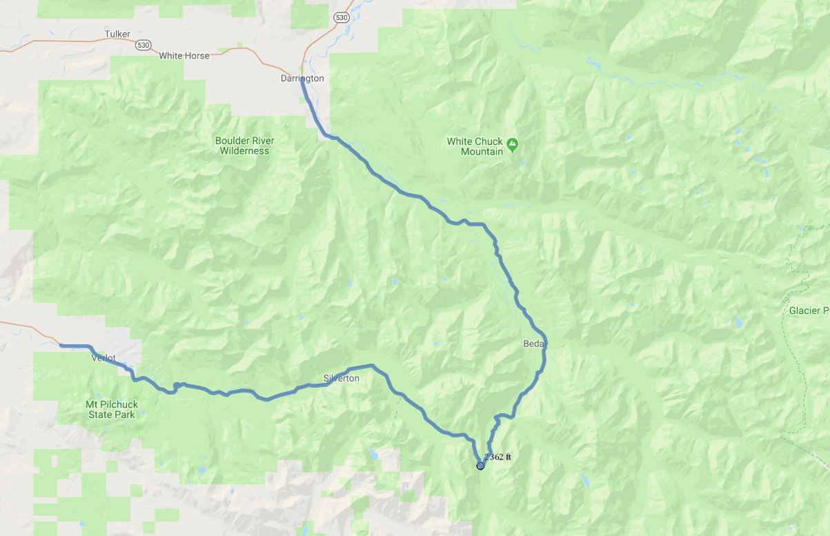
Mountain Loop Scenic Highway

Road Trip

View on Map
flickr/Michael Matti
44.2 miles: 1 hours, 30 minutes
This byway cuts through dense, shady woodland on its way to the heart of the western Cascades. Camping, fishing and hiking are popular activities. Check local forecasts for winter road conditions; east of Silverton, the road is subject to closure due to weather from November until April or May.
Map pin
Road trips stop
1
44.2 miles: 1 hours, 30 minutes
Your journey starts within the Mount Baker-Snoqualmie National Forest. Four miles past Silverton and a mile past the Verlot Ranger Station, watch for the Ice Caves Trailhead sign; from the parking lot, a 1-mile trail leads to the Big Four Ice Caves. Beyond 2,361-foot Barlow Pass, the partly-gravel road leads north to the end of the byway and Darrington.