
West Virginia's Historic National Road
Road Trip
View on Map
StanRohrer/iStockphoto.com
26.7 miles:
1 hours,
10 minutes
America’s first federally funded highway, the Historic National Road offers a scenic drive across six states between Cumberland, Md., and Vandalia, Ill. West Virginia’s section of the National Road crosses the state’s slender northern panhandle, passing through quiet Rust Belt towns on the way to Wheeling, W.Va.
Library of Congress/Carol M. Highsmith
1
Pennsylvania state line to Woodsdale, Wheeling
13.7 miles:
29 minutes
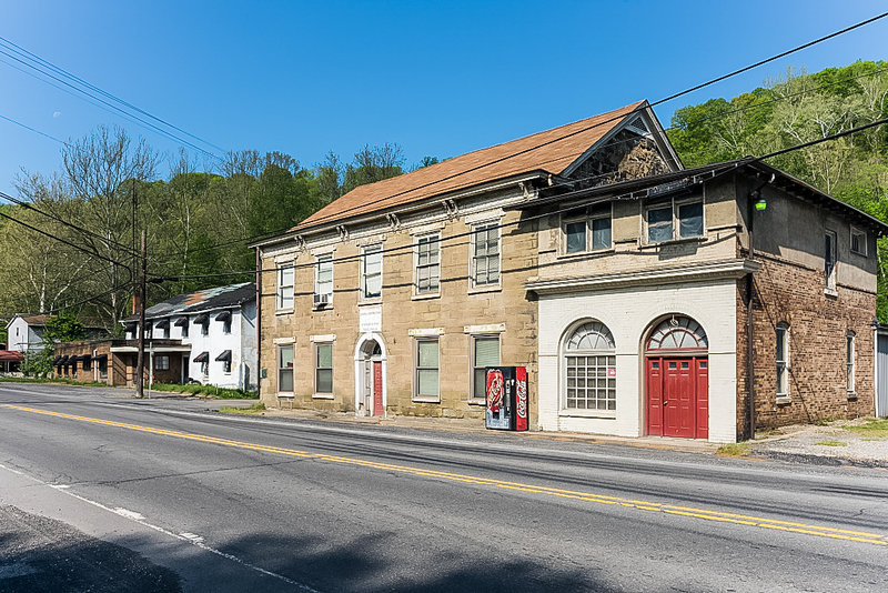
Your trip begins at the West Virginia/Pennsylvania state line. Views are decidedly rural as you head west on the National Road (marked as US 40), with small clusters of homes and mom ‘n’ pop shops around Valley Grove. Just before Triadelphia, look for the two-story Old Stone House. The former tavern was once a popular stop along the National Road.

OZinOH / flickr
2
Woodsdale, Wheeling, to downtown Wheeling
9.7 miles:
25 minutes
The second part of your trip is much more populated than the first, with billboards and familiar chains near the I-70 interchange. You’ll pass bucolic Wheeling Park before entering downtown Wheeling, where Victorian buildings line Main Street.

NoDerog/iStockphoto.com
3
Downtown Wheeling to Ohio state line
3.3 miles:
14 minutes
The last battle of the American Revolution was fought in Wheeling in 1782 at Fort Henry; a memorial stone on Main Street marks the former site of the fort. Wheeling later served as the capital of the "Restored Government of Virginia," when Virginia seceded from the Union. As you cross the Ohio River, you’ll have a perfect photo op of the Wheeling Suspension Bridge, the longest of its kind built in 1849.

