Print link

Big Walker Mountain Scenic Byway

Road Trip

View on Map
Wikimedia Commons/idawriter
16.5 miles: 25 minutes
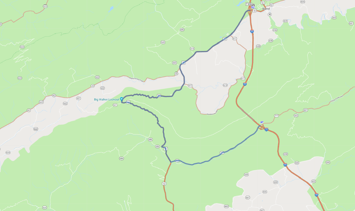
CR 717/US-52 is an easy side trip from the interstate that affords the traveler a delightful jaunt through the mountains. The road winds up Big Walker Mountain at an elevation of 3,405 feet. A viewing tower at 3,505 feet is a unique photographic opportunity and will leave you awestruck at the natural beauty.
Map pin
Road trips stop
1
16.5 miles: 25 minutes
In Jefferson National Forest the elevations range from 600 feet at the James River to the highest point in the state of 5,729 feet at Mount Rogers, and something is almost always blooming in the forest. Atop Big Walker Mountain is a 100-foot tall tower that provides a stunning 360-degree scenic view of the Appalachian Mountains.