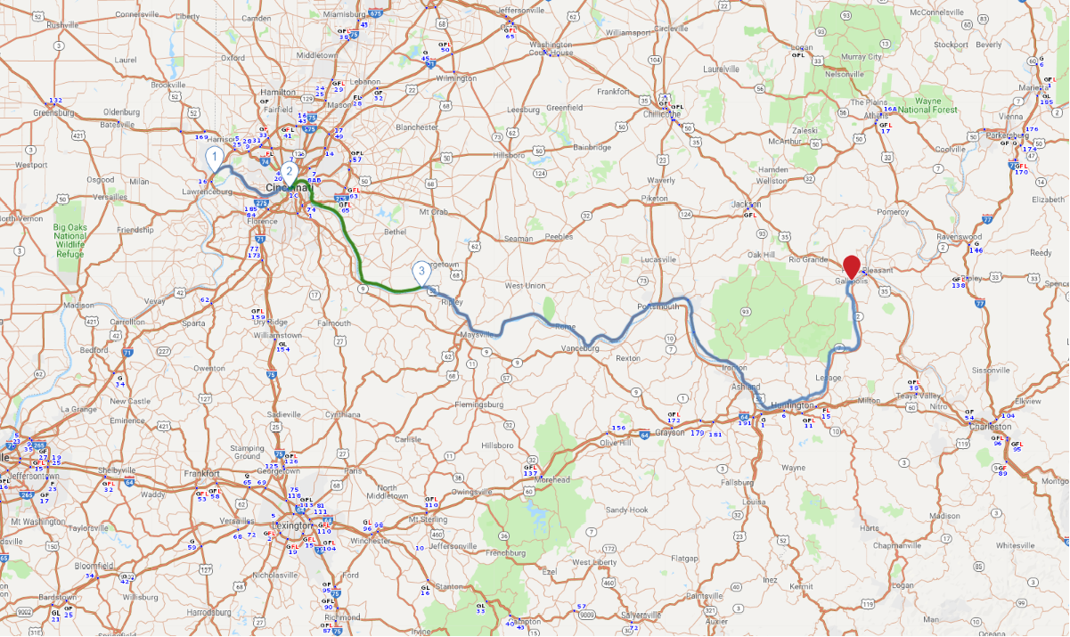
Print link

Western Ohio River Historic Byway

Road Trip

View on Map
dndavis/iStockphoto.com
228.3 miles: 5 hours, 20 minutes
Encompassing 219 miles of the nationally designated 943-mile Ohio River Scenic Byway, the Western Ohio River Historic Byway follows the Ohio River through southwest Ohio. This drive trip showcases small towns along the Ohio River, which separates Ohio from Kentucky and West Virginia.
Map pin
Drive trips stop
Sehenswerk/iStockphoto.com
1
Indiana state line to Cincinnati
23.1 miles: 42 minutes
US 50 composes the Ohio River Scenic Byway on this leg, which showcases a variety of scenery. You’ll cross over the Great Miami River; see industrial areas along the Ohio River in North Bend, Addyston and Cincinnati; and experience downtown Cincy—traffic, skyscrapers and two sports stadiums.
Drive trips stop
BullpenAl/iStockphoto.com
2
Cincinnati to Higginsport
52.1 miles: 1 hours, 25 minutes
This leg features US 52 and provides plentiful views of the Ohio River once you're outside of Cincinnati. The drive crosses over several creeks and the Little Miami River, all of which flow into the Ohio River.
Drive trips stop
flickr/Mike
3
Higginsport to Gallipolis
153.1 miles: 3 hours, 11 minutes
As with the other legs, the Ohio River is the main star. Scenic highlights include Ripley’s Maplewood Cemetery, which has graves dating to the 1800s, and a vineyard right along the road in Manchester. In Portsmouth railroad tracks parallel US 52, and a railroad bridge carries the tracks over the Little Scioto River. Tree-topped rock cliffs, crop fields and silos adorn the route, which ends in charming downtown Gallipolis, where businesses occupy brick and stone buildings.