
Indiana's Ohio River Historic Byway
Road Trip
View on Map
RobertCravens/iStockphoto.com
291.4 miles:
7 hours,
23 minutes
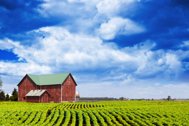
Indiana’s Ohio River Historic Byway covers 286 miles of the nationally designated 943-mile Ohio River Scenic Byway. This drive trip through farm country features sprawling fields, small towns and plenty of views of the Ohio River.
RobertCravens/iStockphoto.com
1
Illinois state line to Tell City
81.0 miles:
2 hours,
3 minutes
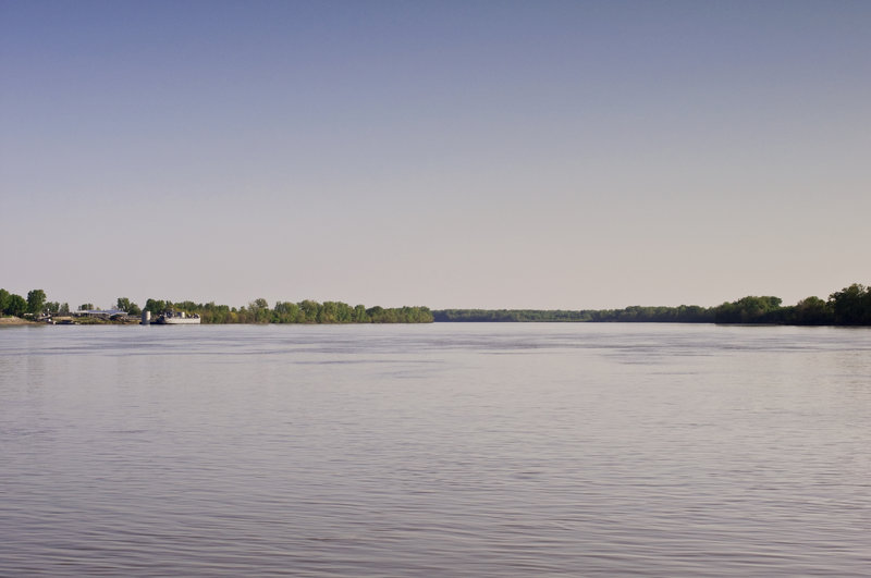
The first leg of Indiana’s Ohio River Historic Byway is on SR 62/66. Depending on the time of year you take this drive trip, the many fields could be either filled to the max with crops or thoroughly plowed. In Evansville you’ll see the University of Southern Indiana and get your first look at the Ohio River.
flickr/Stephanie Richard
2
Tell City to Corydon
69.1 miles:
1 hours,
40 minutes
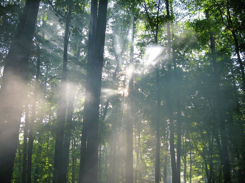
This leg continues on SR 62/66. It doesn’t offer a lot of Ohio River views, but the beautiful up close ones you’ll get in Cannelton make up for the otherwise lack. Deer Creek, which flows into the river, accompanies the road a small portion of the way. You’ll also weave through part of Hoosier National Forest.
LuAnn Snawder Photography/flickr
3
Corydon to Jeffersonville
28.6 miles:
58 minutes
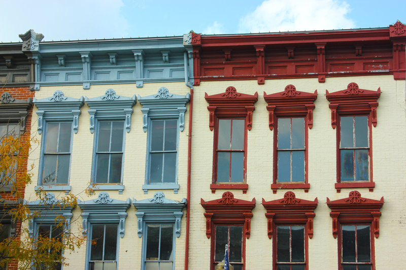
On this leg, immense fields and rural stretches make up a great deal of the scenery along SR 62. New Albany is particularly pretty with its nice landscaping and historic buildings. Another highlight is Clarksville, where the river runs close to the road and you can see the Louisville, Ky., skyline in the distance.
185408883/iStockphoto.com
4
Jeffersonville to Madison
45.8 miles:
1 hours,
7 minutes
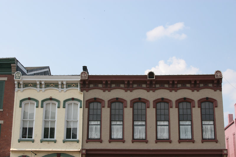
The majority of SRs 62 and 56 features more rural scenes: fields and silos. The leg concludes in historic downtown Madison, where businesses, shops and pretty houses line Main Street.
Maksymowicz/iStockphoto.com
5
Madison to Ohio state line
66.9 miles:
1 hours,
33 minutes
Just outside downtown Madison, the Ohio River rejoins the trip, and it peeks through the trees and houses at various intervals during the rest of the way on SR 56/156. The scenery alternates between expansive crop fields and small towns like Vevay and Rising Sun. The busier US 50 completes the route at the Ohio border.

